Learn how heat maps provide intuitive data visualization by representing values through color gradients, aiding in pattern recognition and decision-making.
Understanding Heat Maps for Data Visualization
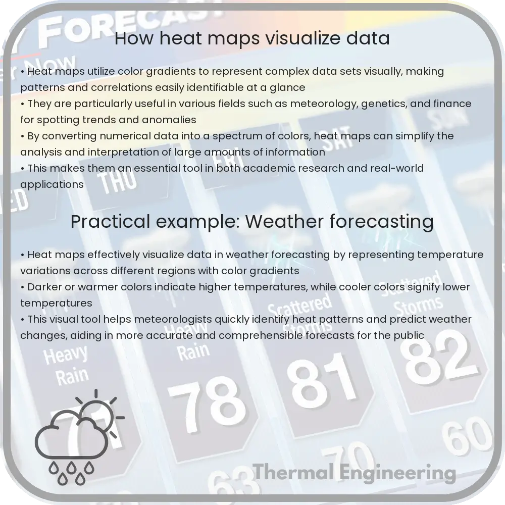
Heat maps are a powerful tool used in various fields such as engineering, meteorology, and data science to visualize complex data sets in an intuitive way. These graphical representations use color to communicate relationships between data values that might be difficult to understand in non-visual formats like spreadsheets or text descriptions.
What is a Heat Map?
A heat map is a type of data visualization that uses varying shades of colors to represent the magnitude of information. Essentially, they are matrices where the individual values contained in a matrix are represented as colors. The “heat” analogy comes from the fact that these maps typically use colors on a spectrum from cool (representing lower values) to warm (representing higher values).
How are Heat Maps Used?
- Data Analysis: Analysts use heat maps to spot correlations, trends, and outliers within large sets of data. By quickly seeing which areas are “hot” or “cold,” it becomes easier to focus on potential areas of concern or interest.
- User Behavior Tracking: In web design and development, heat maps are utilized to analyze user behavior on webpages, indicating where users most frequently click or how far they scroll.
- Geographical Data Representation: Heat maps are also commonly generated in geographic information systems (GIS), where they help in the visualization of data points distributed across different geographic locations.
Creating a Heat Map
To create a basic heat map, the following steps are typically involved:
- Data Collection: Gather the data you wish to visualize. This could be anything from website visitor locations to sales data over different regions.
- Choose a Mapping Tool: Select software or a tool that supports heat map creation, such as Python’s Seaborn library, R’s ggplot2, or online tools like Google Sheets.
- Prepare Data: Organize your data typically in a matrix form where rows and columns correspond to categories and sub-categories with respective values.
- Apply Color Gradient: Assign a color gradient that will aid in differentiating the range of values. Color intensities vary typically from low (cold) to high (hot).
- Analyze and Interpret: Once your heat map is generated, analyze it to identify patterns, trends, or anomalies that arise from the visualization.
Challenges and Considerations
While heat maps are extremely useful, they have certain limitations and considerations:
- Colorblind Accessibility: Care must be taken in choosing color palettes that are distinguishable by people with color vision deficiencies.
- Overlapping Data Points: Especially in geographical heat maps, high-density areas can overlap and obscure information unless properly managed.
- Interpretation Bias: The choice of color gradients can influence how data interpretations are made, potentially leading to biased conclusions unless colors are chosen carefully.
Conclusion
Heat maps offer a visually engaging way to represent complex data and make digestible insights accessible to a wide range of audiences. By understanding how to create and interpret heat maps, individuals and organizations can enhance their data analysis capabilities and make more informed decisions.