Thermal satellite imaging uses infrared sensors to capture Earth data for weather forecasting, environmental protection, and disaster management.
Understanding Thermal Satellite Imaging and Its Role in Earth Monitoring
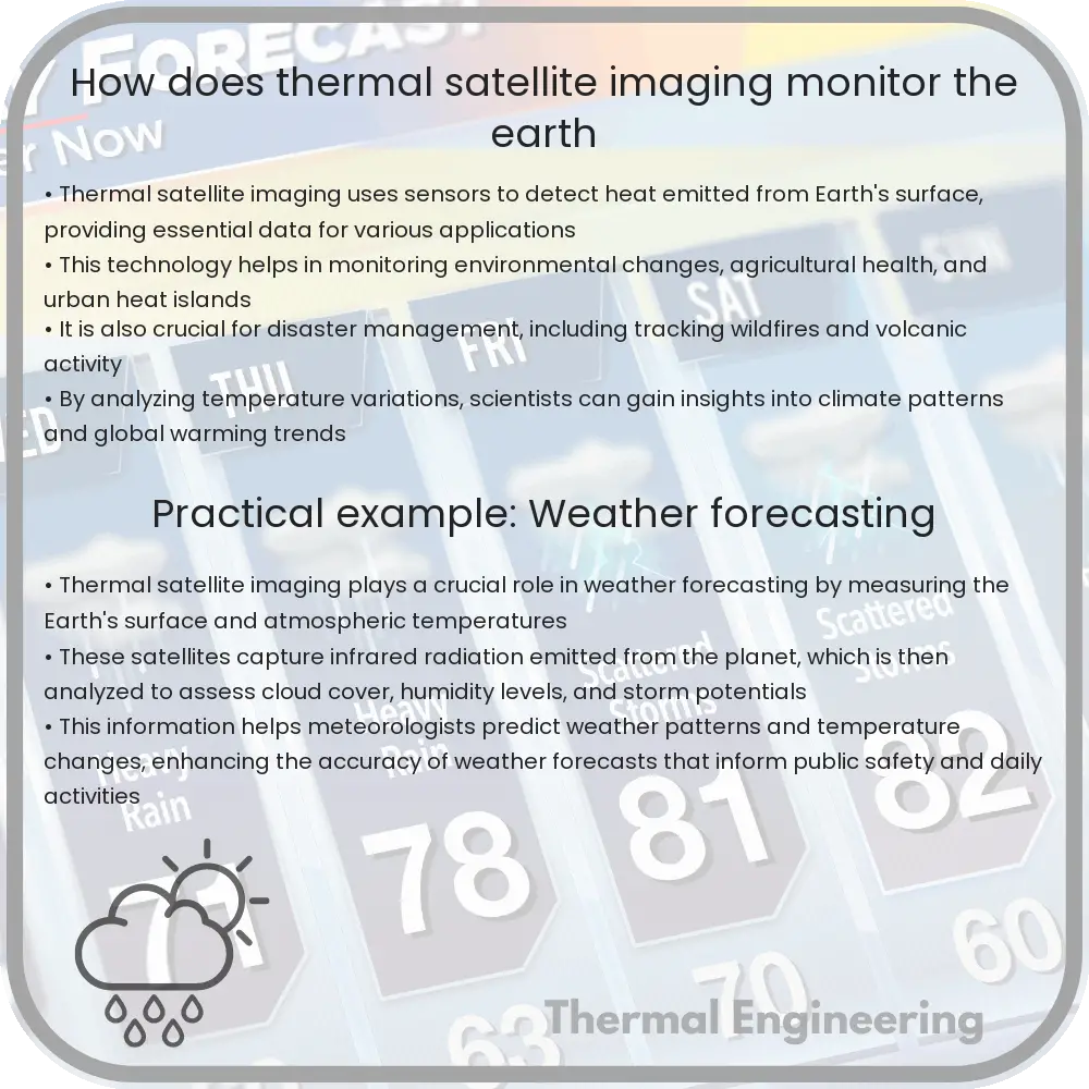
Thermal satellite imaging is a powerful technology used to observe the Earth from space. By detecting infrared radiation, which is essentially heat emitted by objects, thermal satellite imaging provides essential data on various environmental and artificial activities. This technology plays a crucial role in weather forecasting, environmental protection, and even in disaster management.
How Does Thermal Satellite Imaging Work?
Thermal imaging satellites utilize specialized sensors to detect infrared radiation. Every object, according to its temperature, emits thermal radiation. These sensors, located on satellites orbiting the Earth, capture this radiation and convert it into digital images. The principle is based on the Planck’s Law, which relates the radiation emitted by an object to its temperature:
E(λ,T) = (2hc2)/(λ5)[1 / (e(hc)/(λkT) – 1)]
Where:
- E(λ,T) – the emissive power per unit area from a surface at wavelength λ and absolute temperature T,
- h – Planck’s constant,
- c – speed of light,
- λ – wavelength of the emitted radiation,
- k – Boltzmann constant,
- T – absolute temperature in Kelvin.
The satellite’s sensors, primarily capturing data in the infrared spectrum, allow detailed imaging at different wavelengths. This data is then processed to generate thermal images that can be analyzed for various applications.
Applications of Thermal Satellite Imaging
Thermal satellite imaging is utilized in several fields, including:
- Environmental Monitoring: It’s used to monitor forest fires, evaluate water temperatures in oceans and lakes, and study vegetation health through thermal anomalies.
- Agriculture: Farmers use thermal images to assess crop conditions, irrigation needs, and detect pest and disease outbreaks.
- Weather Forecasting: Meteorologists use these images to analyze cloud temperatures, wind patterns, and to predict storm and cyclone trajectories.
- Disaster Management: It helps in the quick detection of hotspots in natural disasters like fires or volcanic activity, facilitating faster responses.
- Urban Planning: Monitoring urban heat islands – areas that are significantly warmer than their rural surroundings due to human activities.
Challenges and Limitations
Despite its extensive applications, thermal satellite imaging faces certain limitations, such as:
- Cloud Cover: Clouds can obstruct the infrared radiation from reaching the satellite sensors, thus limiting visibility.
- Resolution: The spatial resolution of thermal imaging might not be as high as other imaging technologies, affecting detailed studies over small areas.
- Temporal Resolution: Some satellites might have longer revisit times, impacting the ability to capture real-time changes.
However, advancements in satellite technology and imaging techniques continue to improve the effectiveness of thermal satellite imaging.
Conclusion
Thermal satellite imaging is an integral tool for monitoring the Earth’s surface and atmosphere. By providing valuable data in real-time, this technology aids in proactive decision-making and strategic planning across various sectors. As satellite technology evolves, the scope of thermal imaging will broaden, offering deeper insights and more accurate forecasts, crucial for sustainable development and disaster resilience.