Hydrodynamic modeling in coastal engineering simulates water interactions with structures to manage erosion, floods, and infrastructure.
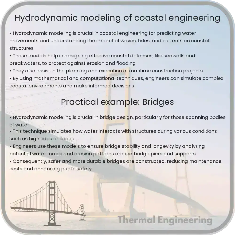
Understanding Hydrodynamic Modeling in Coastal Engineering
Coastal engineering is a crucial field of engineering that deals with the management and construction within the coastal zone. The main objectives are the protection of coastlines from erosion, flooding, and sea-level rise, as well as the development of infrastructure capable of sustaining marine activities. An essential tool for achieving these goals is hydrodynamic modeling, which allows engineers to simulate and study the complex interactions between water and coastal structures.
What is Hydrodynamic Modeling?
Hydrodynamic modeling involves the use of mathematical formulas and algorithms to predict how water moves and behaves in different environments. In coastal engineering, this type of modeling is vital for predicting tide, wave, and storm surge scenarios, which can significantly impact coastal areas. The models help in understanding water behaviors such as currents, tides, and wave mechanics, which are critical for designing effective coastal protection and management strategies.
Key Components of Hydrodynamic Models
- Bathymetry: The detailed measurement of the depth of water in oceans, seas, and lakes that influences how waves propagate and interact with land structures.
- Topography: The arrangement of the natural and artificial physical features of an area. This includes beaches, dunes, and man-made structures like seawalls and jetties.
- Wave characteristics: This includes data such as wave height, period, and direction, which are crucial for assessing the potential impact of waves on coastal structures and erosion patterns.
Mathematical Foundations of Hydrodynamic Modeling
At its core, hydrodynamic modeling in coastal engineering revolves around the fundamental equations of fluid dynamics, primarily the Navier-Stokes equations, which describe the movement of fluid substances. Simplified, these equations are:
- Continuity Equation (to ensure mass conservation):
$$\frac{\delta \rho}{\delta t} + \nabla \cdot (\rho \vec{v}) = 0$$ - Momentum Equation (explaining the forces acting on the fluids):
$$\rho (\frac{\delta \vec{v}}{\delta t} + \vec{v} \cdot \nabla \vec{v}) = -\nabla p + \rho \vec{g} + \mu \nabla^2 \vec{v}$$
Here \(\rho\) is the fluid density, \(\vec{v}\) is the velocity field, \(p\) is the pressure field, \(\vec{g}\) is the gravitational acceleration, and \(\mu\) is the dynamic viscosity.
Applications of Hydrodynamic Modeling in Coastal Engineering
Hydrodynamic models are implemented in various aspects of coastal engineering, including:
- Flood Risk Assessment: Estimating potential inundation areas and their corresponding water depths to enhance flood defenses.
- Marine Structure Design: Designing structures that can withstand the forces exerted by waves and tidal currents.
- Erosion Control: Predicting erosion patterns near coastlines and designing appropriate mitigation measures such as breakwaters or groynes.
- Environmental Management: Assessing the impact of human activities on coastal ecosystems and planning interventions to minimize environmental damage.
Hydrodynamic modeling is continually evolving with advances in computational resources and algorithms, enabling more precise and comprehensive predictions. Modern software packages and powerful computing architectures allow for real-time modeling and the visualization of complex scenarios, which are essential for effective decision-making in coastal management and engineering projects.
Conclusion
With the increasing threats posed by climate change, such as rising sea levels and more intense storm events, hydrodynamic modeling has become a cornerstone of coastal engineering. It offers a scientific basis for designing adaptive and resilient infrastructure, ensuring the safety and sustainability of coastal regions around the world.
Whether it’s used for designing coastal defenses, managing shoreline erosion, or planning marine habitats, effective use of hydrodynamic models is vital for informed decision-making and sustainable coastal management.